Buffers and Minimum Bounding Geometry#
When working with archaeological data, we might want to define the space surrounding archaeological features or sites, or create a buffer for site management.
The Buffer Tool#
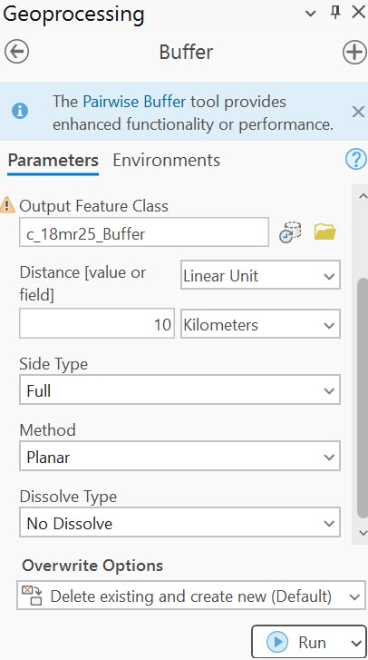
The Buffer tool takes as input a feature class (point, polyline, or polygon) and creates a specified buffer around the features. Users can define the Euclidean distance of the buffers, as well as specify whether overlapping buffers will form separate records or be dissolved into each other using the Dissolve Type option. The polygon can also be included or excluded from the buffer.
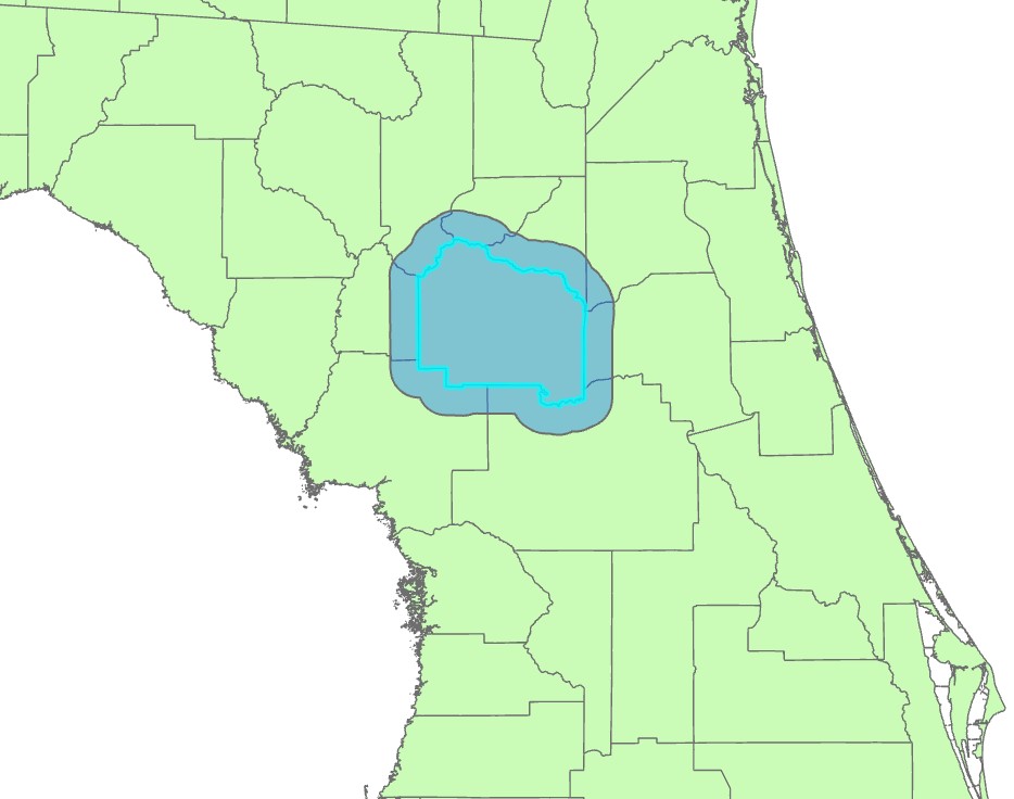
The following shows a 10 km buffer around Alachua county:
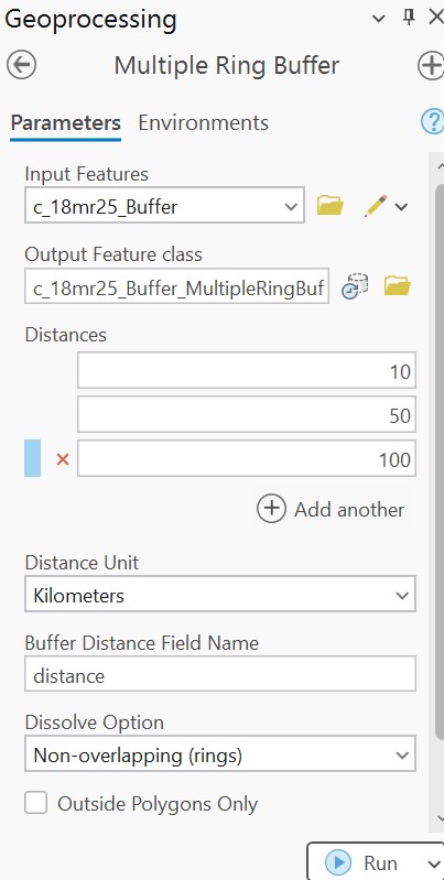
A similar tool, the Multiple Ring Buffer tool will create multiple buffers based on a set of distance values defined by the user. These rings can have an equal interval or any values as needed for the particular application. The ring buffers can be non-overlapping (rings) or they can by overlapping (each subsequent buffer will include the previous one). The following creates multiple ring buffers around Alachua county at distances of 10 km, 50 km, and 100 km.

Minimum Bounding Geometry#
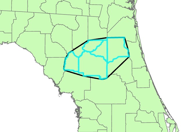
The Minimum Bounding Geometry tool takes a feature class input (point, polyline, or polygon) and creates a new polygon feature class surrounding and fully containing these features. Options for the bounding geometry include rectangular and circular extents, as well as the convex hull option, which connects the outermost records in the feature class to create the smallest bounding polygon.
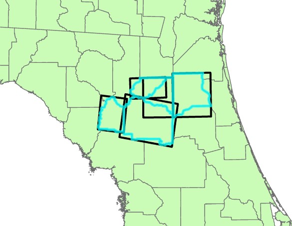
The following shows multiple rectangles around selected Florida counties:
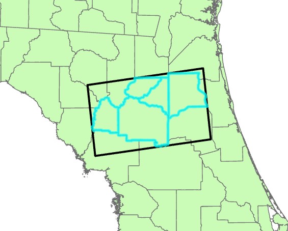
The following shows all selected counties grouped together to create a single bounding rectangle:
The following shows the convex hull option: